GPS precision in wearable trail tracking depends on several key factors you should understand. Satellite connectivity (with four or more satellites required), environmental conditions (trees and terrain blocking signals), hardware quality (antenna size and battery capability), and processing algorithms all affect your device’s accuracy. Your wearable’s placement—wrist versus upper arm—also impacts signal stability. Modern devices balance power consumption with tracking frequency, offering different modes to match your needs. The science behind these precision factors reveals surprising technological compromises.
The Science Behind Satellite Acquisition and Coverage
While most trail enthusiasts simply glance at their wrist for location data, the technology enabling this convenience is remarkably complex. Your wearable device needs to connect with at least four satellites to pinpoint your exact position, using time-of-flight measurements to calculate distance.
Modern GPS watches can acquire signals in as little as 3 seconds, thanks to advanced reception algorithms and high-speed motors. When you’re on the trail, your device often leverages multiple satellite systems like GPS and GLONASS simultaneously to enhance precision. The addition of GLONASS provides access to 24 additional satellites, significantly improving tracking reliability.
Today’s GPS technology delivers precise location data in seconds by combining multiple satellite networks for unparalleled outdoor navigation accuracy.
Signal strength matters considerably—open sky provides ideal reception, while trees, cliffs, and valleys can cause multipath interference.
That’s why many premium wearables now integrate multiple satellite constellations, including Japan’s Michibiki system, ensuring you stay on track wherever your adventures lead.
Hardware Limitations in Compact Wearable Devices
When hiking with a GPS smartwatch, you’re dealing with significant hardware compromises that affect accuracy.
Your watch’s miniaturized antenna can’t match the signal reception of larger GPS devices, resulting in less precise location tracking on remote trails.
Battery limitations force manufacturers to implement power-saving modes that reduce GPS sampling frequency, further sacrificing tracking precision during longer adventures.
Research indicates that GPS accuracy notably decreases with higher speeds, which becomes particularly relevant when tracking rapid elevation changes or quick direction shifts on technical trail sections.
Miniaturized Antenna Trade-offs
Despite advances in wearable technology, GPS precision remains fundamentally constrained by antenna miniaturization challenges. When you’re selecting a trail tracking wearable, you’re maneuvering through a complex tradeoff between size and performance.
Smaller antennas typically sacrifice gain, bandwidth, and signal-to-noise ratio—all critical factors for maintaining reliable GPS coordinates on remote trails.
- Reduced antenna size directly impacts reception quality and jamming resistance
- Textile or implanted antennas save space but limit effective aperture for stable signals
- Smaller antennas require more complex electronic compensation to maintain accuracy
- Anti-jamming capabilities are compromised in miniaturized designs
- Performance in obstructed environments (dense forest, canyons) degrades more notably with compact antennas
Your wearable’s positioning accuracy ultimately depends on how well its design balances these constraints while maintaining functionality in challenging outdoor conditions. Many advanced trail tracking devices incorporate microstrip antennas for their low profile and compatibility with GPS systems while maintaining reasonable performance.
Battery Life Compromises
As battery technology struggles to keep pace with GPS components, battery life becomes the Achilles’ heel of trail tracking wearables.
You’ll face inevitable trade-offs between device size, update frequency, and runtime. Your tracking precision directly impacts power consumption—real-time monitoring might leave you searching for a charger within days, while reduced update intervals can extend battery life to several months.
The smaller your device, the more severe these compromises become due to physical battery capacity limitations. Choosing devices with high-quality components will significantly improve energy efficiency and extend battery life during extended outdoor excursions.
Environmental conditions further complicate matters. Cold temperatures on mountain trails or high humidity in forests will drain your battery faster than ideal conditions.
Additional features like panic buttons and motion sensors, while valuable, each take their toll on battery reserves. Even poor GPS reception forces your device to work harder, accelerating power depletion.
Environmental Challenges on Forest Trails

Although GPS technology has revolutionized outdoor navigation, forest environments present unique obstacles that compromise tracking accuracy and reliability.
When you’re hiking through dense woods, your wearable’s GPS struggles against multiple natural barriers that can throw off your location by several meters or more.
- Dense foliage blocks satellite signals, reducing the number of satellites your device can connect with.
- Tall trees create multipath effects where signals bounce unpredictably before reaching your device.
- Steep valleys and mountainous terrain limit satellite visibility from certain angles.
- Seasonal changes in vegetation density affect signal penetration differently throughout the year.
- Weather conditions like heavy rain or fog further degrade GPS performance when you need it most.
These environmental factors make forest trail tracking particularly challenging for even high-quality wearable devices. Understanding these limitations is crucial for hikers who rely on GPS tracking devices for both navigation and emergency situations.
Advanced Signal Processing Algorithms
While traditional GPS systems struggle in dense forest environments, advanced signal processing algorithms have emerged as game-changers for wearable trail tracking technology.
These algorithms enhance precision through sophisticated techniques like Kalman filtering and sensor fusion, which combine data from multiple sensors to compensate for individual inaccuracies.
Advanced algorithms leverage Kalman filtering and sensor fusion to deliver pinpoint accuracy where traditional tracking systems fail.
You’ll benefit from real-time processing that delivers immediate feedback on your trail position.
Machine learning integration recognizes patterns in your movement, while wavelet analysis and noise reduction techniques filter out environmental interference.
These processes work together to maintain tracking accuracy even when you’re deep under forest canopy.
The result? Your wearable device delivers more stable, consistent GPS data despite challenging conditions.
As these algorithms continue to evolve with AI integration, you’ll experience increasingly reliable trail navigation that extends battery life without sacrificing performance.
Similar to WurQ’s technology, these systems employ deep learning algorithms to analyze complex movement patterns and provide users with meaningful insights about their physical activities.
Multi-Sensor Fusion for Enhanced Accuracy
Even in challenging terrain where GPS signals falter, multi-sensor fusion technology delivers remarkable positioning accuracy for trail tracking wearables. Your device combines data from GPS with accelerometers, gyroscopes, and magnetometers to create a thorough positioning solution that’s more reliable than any single sensor.
- Kalman filters estimate your position by intelligently merging data streams, reducing measurement errors in real-time.
- Accelerometers track your movement when GPS signals weaken under dense forest canopy.
- Gyroscopes maintain orientation accuracy on steep switchbacks and technical terrain.
- Magnetometers provide compass heading relative to Earth’s magnetic field, enhancing wayfinding.
- Machine learning algorithms focus on line-of-sight signals, improving receiver sensitivity in challenging locations.
This fusion approach provides robust positioning that remains accurate even when you’re traversing urban trail sections or deep canyons. Advanced systems like dual-band receivers leverage additional GNSS signals to further enhance accuracy in difficult environments, though they require more power resources.
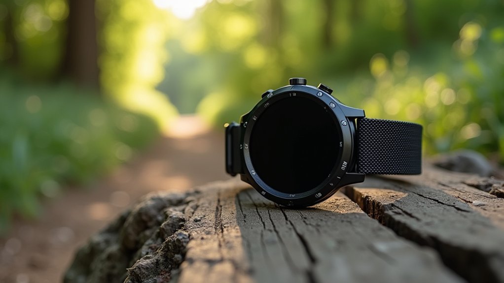
Wearable Placement and Its Impact on Signal Quality
Where you place your GPS wearable on your body considerably influences signal quality and tracking accuracy on the trail. Wrist-worn devices often suffer from signal fluctuations due to arm movement creating intermittent satellite visibility, while chest or upper arm placement provides more stable GPS fixes.
Your body absorbs and reflects GPS signals, with wrist placement experiencing the most interference. Devices mounted on backpacks or belts benefit from better sky exposure, yielding stronger signals and improved positional accuracy. The quality of reception is directly influenced by the antenna design and its placement relative to your body.
These placement advantages become even more critical in challenging environments like dense forests or urban areas. The time-to-first-fix is also affected—poor placement can delay signal acquisition and introduce substantial errors at the beginning of your activity.
For ideal trail tracking, consider wearing your device in a position that minimizes body obstruction.
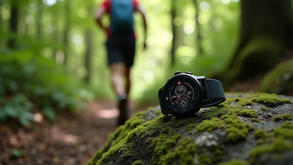
Validating Trail Distance and Elevation Data
You’ll need reliable methods to validate the distance and elevation data your wearable device collects during trail activities.
Benchmark course comparisons offer a standardized approach by testing your device against established routes with known measurements and elevation profiles.
Cross-device testing complements this validation process by comparing readings across multiple wearables simultaneously, helping you identify discrepancies and determine which device provides the most accurate trail tracking data. The accuracy of these measurements is substantially influenced by device-related factors such as antenna type, satellite connectivity, and signal processing methods.
Validating Trail Distance and Elevation Data
While trail enthusiasts rely on wearable GPS devices to track their adventures, the accuracy of these measurements requires rigorous validation through established methods and reference systems.
When you’re evaluating your device’s precision, researchers typically focus on distance traveled, average speed, and peak speed as primary parameters.
- ICC scores above 0.8 indicate good reliability for distance and step count measurements
- Bland-Altman analysis and MAPE are standard metrics used to establish validity boundaries
- Physical references like tape measures and timing gates provide the most reliable validation standards
- Elevation validation is more complex, often requiring barometric altimeter calibration
- Environmental factors such as tree cover and terrain greatly impact measurement accuracy
The validation approach chosen critically affects outcomes, with some methods better suited for average parameters rather than instantaneous position tracking.
Benchmark Course Comparisons
Benchmark course comparisons serve as the foundation for accurate GPS validation in trail measurement systems. These controlled environments allow you to evaluate multiple devices simultaneously under identical conditions, revealing true performance differences rather than environmental variables.
When testing GPS accuracy, you’ll find courses designed with verified distances and elevation changes to challenge devices across different metrics. Your wearable’s performance can vary considerably based on terrain complexity, vegetation density, and satellite obstruction.
The most thorough benchmarks assess not only basic tracking accuracy but also signal strength, battery life, and user interface functionality. For precise measurements, watches with multi-band GPS satellite recording provide significantly enhanced accuracy in challenging environments.
Look for tests that include dual-frequency technology evaluation and signal-boosting capabilities, as these features dramatically improve performance in challenging conditions. Community validation through user forums often supplements professional reviews, providing real-world insights beyond laboratory testing.
Cross-Device Testing Methods
Cross-device testing methods establish the backbone of reliable GPS data validation, especially when evaluating the performance of multiple trail tracking systems simultaneously.
You’ll need to verify GPS data interoperability across iOS and Android while ensuring consistent distance and elevation measurements between wearables, smartphone apps, and cloud services.
- Time-synchronized data collection minimizes environmental effects when comparing elevation and distance readings
- Statistical analysis of route repeatability identifies systematic errors in GPS precision
- Real device testing captures hardware-specific nuances that emulators can’t replicate
- Hybrid testing strategies combine manual tests with automated workflows for efficient issue identification
- Cloud-based device farms provide scalable access to diverse wearable models for iterative accuracy testing
For ideal validation, incorporate physical control points with known coordinates and altitude to enhance precision assessment across different form factors. Comprehensive compatibility testing ensures wearable GPS functionality remains consistent regardless of operating system version or device generation.
Power Management vs. Tracking Precision Trade-offs
As wearable trail tracking technology advances, designers face inevitable compromises between power consumption and GPS accuracy. You’ll notice this trade-off directly impacts your device’s performance on the trail.
| Power Setting | Battery Life | Tracking Precision |
|---|---|---|
| High Precision | 8-12 hours | Within 3 meters |
| Balanced Mode | 24-36 hours | Within 10 meters |
| Power Saver | 72+ hours | Within 25 meters |
Your preferences matter considerably in this equation. If you’re maneuvering complex mountain trails, you might prioritize accuracy over battery life. Conversely, for multi-day hikes, you may accept less precision for extended usage. Modern wearables increasingly offer customizable modes, allowing you to switch between settings based on your activity. GPS tracking represents one of the most energy-intensive features in today’s wearable devices. Innovations like sleep modes and efficient components are gradually reducing these compromises, but the fundamental physics of power consumption remains.
Frequently Asked Questions
How Do Military-Grade GPS Signals Differ From Civilian Wearable GPS?
Military-grade GPS uses dual frequencies, encryption, and stronger signals. You’ll get centimeter-level accuracy, anti-jamming capabilities, and secure communication. Your civilian wearable GPS uses single frequency with meter-level accuracy and limited interference protection.
Can Wearable GPS Accuracy Be Affected by Solar Flares?
Yes, your wearable’s GPS accuracy can greatly affected by solar flares. These events disrupt the ionosphere, causing signal degradation, navigation errors, and reduced positioning precision that may last for hours or even days.
Do Subscription-Based Accuracy Enhancements Exist for Trail Running Watches?
Yes, you’ll find subscription services from brands like Suunto and Garmin that enable multi-band GPS, enhanced route correction, improved maps, and optimized algorithms specifically designed to improve tracking accuracy during trail runs.
How Often Should I Recalibrate My Wearable’s GPS Sensors?
You don’t need manual recalibration for your GPS wearable. Simply allow a full signal lock before starting activities, and perform occasional system resets after firmware updates or if you notice accuracy declining.
Does Running Speed Impact GPS Accuracy on Winding Trails?
Yes, your speed affects GPS accuracy on winding trails. When you run faster, GPS devices struggle to accurately track sharp turns, causing more zigzagging and potentially overestimating your distance traveled by several percent.
In Summary
You’ll find that GPS precision in wearables depends on multiple factors working together. Your device balances satellite connectivity, hardware limitations, and environmental challenges while employing signal processing and sensor fusion techniques. Where you wear your device matters too, affecting signal quality. As you track trails, remember that accuracy comes at the cost of battery life—a trade-off you’ll need to weigh based on your outdoor needs.


Leave a Reply