You’ll find several excellent smartwatch navigation apps that outperform default systems for specialized needs. Navigation Wear App offers cross-platform mirroring with haptic alerts, while Strava provides GPS tracking for fitness activities with community features. Komoot delivers personalized outdoor routes with turn-by-turn navigation, and MapMyRun focuses on running-specific metrics and custom routes. Gaia GPS excels with offline topographic maps for wilderness adventures, perfect when you need reliable navigation beyond basic street directions and want professional-grade features for your outdoor pursuits.
Navigation Wear App – Cross-Platform Mirroring Solution
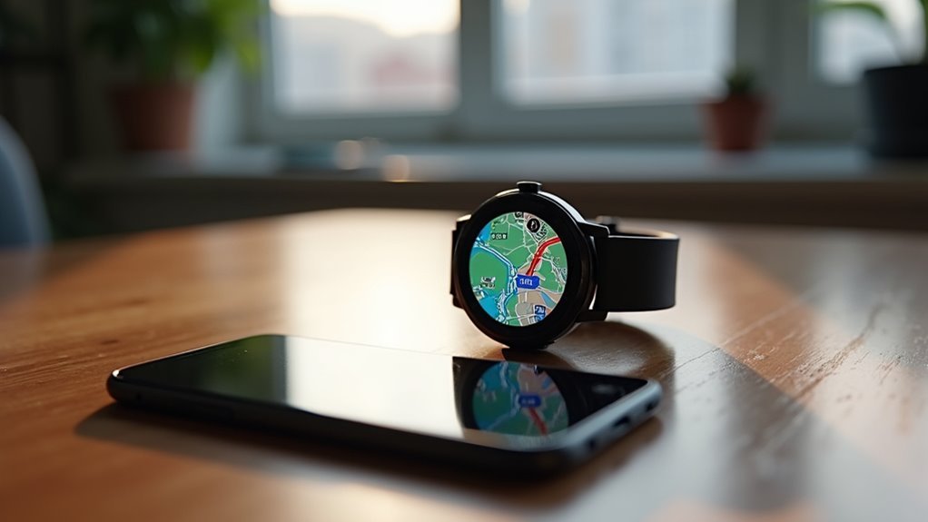
When you’re looking for a navigation solution that works across multiple smartwatch platforms, Navigation Wear App stands out as a versatile cross-platform mirroring solution.
You’ll find it supports Fitbit, Garmin, Huawei, and Wear OS devices, giving you flexibility regardless of your watch brand.
The app mirrors navigation data from your smartphone directly to your watch, displaying turn-by-turn directions, distance markers, and estimated arrival times.
You’ll receive haptic alerts for upcoming turns while keeping your phone tucked away during activities like hiking or cycling.
Unlike competitors on platforms like Zepp that restrict usage to 10 minutes without payment, Navigation Wear offers sustainable pricing without aggressive limitations.
Navigation Wear App provides fair pricing with no restrictive time limits, unlike other platforms that aggressively limit free usage.
You can plan multi-stop routes on your phone and sync them seamlessly to your watch for convenient navigation. For serious outdoor activities, consider that dedicated GPS watches offer superior battery performance and don’t rely on phone connectivity like mirroring solutions.
Strava – Fitness-Focused Navigation With Route Tracking
For fitness enthusiasts who need guidance capabilities during workouts, Strava transforms your smartwatch into a thorough activity tracker with built-in route assistance.
You’ll get GPS-powered direction while tracking runs, rides, walks, and hikes with detailed performance metrics including pace, distance, and heart rate data.
The app works seamlessly across Samsung devices like Galaxy Watch and Gear S3, plus it’s available on Wear OS for standalone recording without your phone. Setup requires linking your Strava account and entering a four-digit access code displayed on your computer screen.
You can explore community-generated routes, compete on Live Segments, and participate in challenges while traversing unfamiliar paths.
- GPS Integration: Accurate distance tracking and real-time route visualization during activities
- Cross-Platform Support: Compatible with Samsung Galaxy watches and Wear OS devices
- Performance Metrics: Live pace, heart rate, and distance data while guiding routes
- Community Features: Access shared routes and compete on predetermined segments
Komoot – Outdoor Adventure Navigation for Hikers and Cyclists
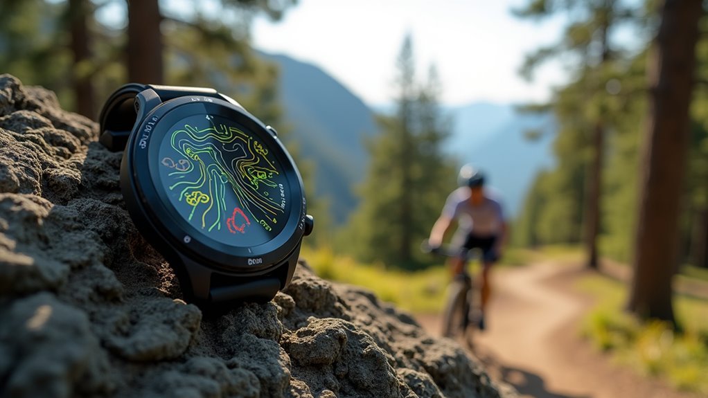
Adventure seekers looking to explore trails, mountains, and cycling routes will find Komoot transforms their smartwatch into a specialized outdoor navigation companion.
You’ll get personalized route suggestions tailored to your preferred activities like hiking, cycling, or trail running, with turn-by-turn navigation featuring audible alerts and breadcrumb trails.
On compatible Garmin devices like Vívoactive and Venu, you’ll access advanced features including dynamic route recalculation and detailed data fields showing elevation, gradient, and completion status.
The app syncs seamlessly with Amazfit watches through the Zepp app, while offline maps guarantee you stay on track in remote areas.
Premium users gain access to Collections and enhanced navigation features, plus you can filter saved routes by sport, distance, and proximity directly from your wrist. The Apple Watch version features a user-friendly interface specifically designed for the smaller screen, making it perfect for adventurers wanting to keep their phone tucked away.
MapMyRun – Running-Specific GPS Navigation and Route Planning
Over 100 million runners worldwide trust MapMyRun to transform their smartwatch into a thorough training companion that goes beyond basic GPS tracking. Developed by Under Armour, this app delivers accurate real-time metrics including distance, pace, and elevation while providing personalized training plans and audio coaching feedback.
You’ll discover custom route creation tools and suggested paths for any destination, whether you’re running locally or traveling. The platform supports over 600 activities and integrates seamlessly with third-party devices for extensive performance analytics. The app includes community engagement features that allow runners to connect, share achievements, and participate in group challenges.
- Real-time voice feedback keeps you informed of pace, distance, and heart rate without checking your screen
- Custom route planning lets you design, save, and share personalized running paths
- Personalized training plans adapt to your fitness goals with tailored coaching recommendations
- Community challenges connect you with millions of runners for motivation and competition
Gaia GPS – Professional-Grade Offline Mapping for Wilderness Navigation
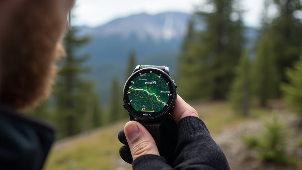
While MapMyRun excels at urban running routes, serious hikers and backcountry adventurers need navigation tools that work reliably in remote wilderness areas where cellular towers don’t exist. Gaia GPS delivers professional-grade offline mapping that transforms your smartwatch into a wilderness navigation powerhouse. You’ll download detailed topographic maps before heading out, ensuring full functionality without cellular signals.
| Feature | Capability | Wilderness Benefit |
|---|---|---|
| Offline Maps | Topo, satellite, specialized overlays | Zero cellular dependency |
| Route Planning | Elevation profiles, terrain details | Complex backcountry navigation |
| Track Recording | Log routes and elevations | Trip review and sharing |
| File Integration | Import/export GPX, KML files | Compatible with outdoor tech |
The app’s Light Pollution layer even helps you find ideal stargazing locations, making it indispensable for serious outdoor enthusiasts. The service offers different plans to accommodate everyone from casual weekend hikers to professional wilderness guides who need comprehensive mapping resources.
Viewranger – Trail Navigation With Augmented Reality Features
Although ViewRanger ceased operations in February 2022 and merged with Outdooractive, its innovative approach to trail navigation deserves recognition for pioneering augmented reality features that transformed how hikers interact with wilderness environments.
ViewRanger’s Skyline technology overlaid trail directions and points of interest directly onto your camera’s real-world view, making navigation intuitive even for complex terrain.
ViewRanger’s pioneering augmented reality transformed wilderness navigation by seamlessly blending digital trail guidance with real-world camera views.
You could access high-quality offline maps for over 20 countries, record routes with live stats, and share locations through BuddyBeacon. The platform supported over 4.6 million users and partnered with 26 national mapping agencies.
Former users can now continue their outdoor adventures on the enhanced platform with access to their transferred maps, routes, tracks, and points of interest from their original ViewRanger accounts.
- Skyline AR technology – Overlays trail directions onto real camera view
- Offline GPS functionality – Works without data connection across 20+ countries
- BuddyBeacon sharing – Real-time location sharing with friends
- Professional mapping – Licensed content from Ordnance Survey, IGN, SwissTopo
Backcountry Navigator – Topographic Maps for Remote Area Navigation
Backcountry Navigator transforms your smartphone into a detailed GPS unit designed specifically for remote wilderness exploration where cellular towers can’t reach you.
You’ll download topographic maps, marine charts, and aerial photography directly to your device for offline navigation. The app provides over 50 worldwide map sources, including specialized options for different countries and regions.
You can set waypoints by tapping your screen or using your current GPS location, then record your paths as tracks with customizable statistics.
The grid-based organization system makes saving map areas simple, while specialty overlays add wildlife, forestry, and ecological data. The app includes a cloud editor that allows you to plan your routes and upload tracks and waypoints before heading into the field.
Whether you’re hiking, camping, kayaking, or conducting search and rescue operations, you’ll have reliable navigation tools that work without cellular coverage across Android and iOS devices.
Frequently Asked Questions
Do Smartwatch Navigation Apps Drain Battery Faster Than Using Phone GPS?
Yes, smartwatch navigation apps drain battery much faster than phone GPS. You’ll get only 5-15 hours versus full-day phone usage because watches have smaller batteries and less efficient GPS hardware.
Can I Use Multiple Navigation Apps Simultaneously on My Smartwatch?
You can run multiple navigation apps simultaneously on most modern smartwatches, especially Android-based ones. However, you’ll face battery drain, performance issues, and screen management challenges on the small display.
Which Smartwatch Brands Have the Best Compatibility With Third-Party Navigation Apps?
Garmin and Apple Watch offer you the strongest third-party navigation app compatibility. You’ll find extensive app ecosystems supporting Wikiloc, Gaia GPS, and specialized tools, while Samsung and Google watches provide decent but more limited options.
Do Navigation Apps Work Without Cellular Connection on Standalone Smartwatches?
You can use navigation apps without cellular connection on standalone smartwatches if you’ve downloaded offline maps beforehand. Apps like GPS Navigation for Wear OS and Goose Maps support offline routing functionality.
How Accurate Are Smartwatch GPS Readings Compared to Dedicated GPS Devices?
You’ll find dedicated GPS devices typically provide superior accuracy due to better antennas, specialized chipsets, and optimized algorithms, while smartwatches offer decent precision but can’t match dedicated units’ performance.
In Summary
You’ve got plenty of options beyond your smartwatch’s default navigation system. Whether you’re tracking fitness goals with Strava, exploring wilderness trails with Gaia GPS, or need reliable offline maps with Backcountry Navigator, there’s an app that’ll match your specific needs. Don’t settle for basic turn-by-turn directions when you can access specialized features like augmented reality trails, topographic mapping, and cross-platform syncing that’ll enhance your navigation experience.


Leave a Reply