You can track elevation gain with your smartwatch using either GPS satellite technology or barometric pressure sensors. GPS altimeters provide 20-25 meter accuracy but struggle in mountainous areas, while barometric sensors measure atmospheric pressure changes for more precise readings. Regular calibration is essential—use known elevation points or auto GPS features before activities. Keep both altimeter and barometer sensors active for reliability, and calibrate when weather conditions stabilize. Understanding these fundamentals will help you optimize your device’s performance for hiking and climbing adventures.
Understanding GPS Vs Barometric Altimeter Technology
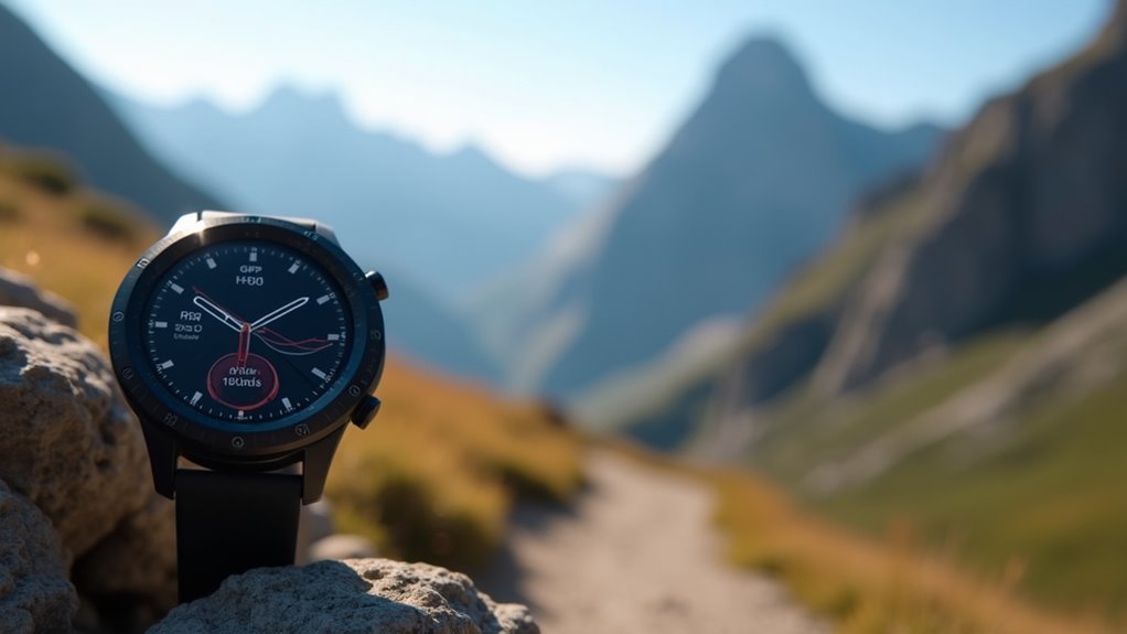
When you’re tracking elevation gain on your smartwatch, understanding the difference between GPS and barometric altimeter technology can considerably impact your data accuracy.
GPS altimeters calculate elevation using satellite signals with accuracy around 20-25 meters, making them ideal for long-distance tracking where continuous position updates balance out elevation errors. However, they’re less reliable in mountainous or forested areas.
GPS altimeters excel at long-distance tracking but struggle with accuracy in mountains and dense forests.
Barometric altimeters measure elevation through atmospheric pressure changes, offering superior precision especially in localized environments. They provide more stable readings with smaller fluctuations compared to GPS, but require frequent calibration since weather conditions affect atmospheric pressure. For optimal accuracy, barometric altimeters need regular calibration to account for changing atmospheric conditions.
Many modern smartwatches combine both technologies, using GPS for positioning while relying on barometric sensors for more accurate elevation measurements during your activities.
Calibrating Your Smartwatch for Accurate Elevation Readings
Proper calibration transforms your smartwatch from a rough elevation estimator into a precise altimeter that delivers reliable data throughout your outdoor activities. You’ll need to calibrate regularly—sometimes hourly during activities with significant elevation changes.
Most smartwatches offer multiple calibration methods. Auto calibration uses GPS data automatically, while manual entry lets you input known elevations. For Garmin devices, hold the menu button and select Sensors & Accessories > Altimeter. Choose Auto Cal for GPS calibration or manually enter your current elevation.
| Calibration Method | Best Used When |
|---|---|
| Auto GPS | Starting outdoor activities |
| Manual Entry | You know exact elevation |
| Digital Elevation Model | Requiring mapped precision |
| Barometer Mode | Staying at stable elevations |
| Factory Reset | Experiencing persistent errors |
For optimal accuracy, keep both altimeter and barometer sensors active simultaneously, as they work together to provide more reliable measurements. Calibrate before precision-required activities and in stable weather conditions for peak accuracy.
Best Smartwatch Brands for Elevation Tracking Performance
Once you’ve mastered calibration techniques, choosing the right smartwatch brand becomes your next critical decision for accurate elevation tracking.
Garmin leads with the Forerunner 965 and Instinct 2, offering exceptional GPS accuracy, detailed altitude profiles, and impressive battery life up to 28 days.
Suunto’s Vertical and 9 models excel in multisport tracking, featuring full-color maps and barometric altimeters for mountain adventures.
Coros delivers remarkable value with the Pace 3, providing competitor-level accuracy at lower prices.
Apple Watch Ultra 2 seamlessly integrates elevation tracking with health metrics and iOS compatibility.
All tested models feature multi-band GPS technology for enhanced satellite recording precision in challenging terrain conditions.
Consider Amazfit, Polar, Huawei, and Samsung for additional options, though Garmin, Suunto, and Coros specifically focus on outdoor accuracy for serious elevation tracking needs.
Environmental Factors That Affect Altitude Measurements
Weather conditions greatly impact your smartwatch’s ability to measure elevation accurately.
Barometric pressure changes from storms, temperature fluctuations, and varying atmospheric conditions can cause your device to register incorrect altitude readings.
You’ll notice these environmental factors affect measurement precision most during rapid weather changes or extreme temperature swings. Plants like Rhododendron species show that environmental factors at different elevations create measurable differences in temperature, humidity, and light intensity that your smartwatch sensors must navigate.
Weather and Barometric Pressure
Several environmental factors can considerably impact your smartwatch’s ability to accurately measure elevation gain, with barometric pressure being the most critical variable. Your device relies on barometric sensors to detect pressure changes that correspond to altitude variations. However, weather conditions constantly alter these readings.
Temperature fluctuations considerably affect accuracy—warmer air creates lower pressure readings while colder air produces higher ones, causing your smartwatch to misinterpret actual elevation changes.
Humidity changes and moving air masses also influence local pressure variations, though less dramatically than temperature. High and low-pressure weather systems can shift baseline readings substantially. Significant pressure differences between locations can cause additional measurement variations even when weather conditions appear stable.
Your smartwatch’s altimeter may struggle when barometric pressure drops below 28.00 inches of mercury or exceeds 31.00 inches. These weather-related pressure changes mean you’ll need to calibrate your device regularly for reliable elevation tracking during outdoor activities.
Atmospheric Conditions Impact
Beyond weather patterns themselves, atmospheric conditions create additional layers of complexity that affect your smartwatch’s altitude measurements.
Humidity changes alter air density, causing barometric pressure swings that confuse elevation readings. When you’re hiking through fog or rain, sudden moisture shifts create rapid measurement fluctuations.
Air density variations compound these issues. Water vapor content changes seasonally and regionally, affecting pressure calculations.
Day-night temperature inversions further skew your altitude data through density shifts.
If your watch uses optical sensors, ambient light interference becomes problematic. High-altitude sunlight intensity and snow reflection corrupt sensor accuracy.
Airborne particles from pollution, dust, or smoke impact both optical and barometric sensors unpredictably. These environmental factors can push elevation values beyond the accurate range that recreational devices are designed to handle.
These irregular environmental changes require frequent calibration adjustments, as automatic systems struggle with rapid atmospheric shifts.
Temperature Effects Accuracy
Temperature changes create the most significant source of error in your smartwatch’s altitude measurements. Your device’s barometric pressure sensor assumes standard conditions of 15°C/59°F during calibration. When temperatures deviate from this baseline, accuracy suffers dramatically.
Cold air compresses the atmosphere, causing higher pressure readings at any given altitude. This makes your altimeter over-report elevation. Conversely, warm air expands and reduces pressure, leading to under-reported altitudes.
| Temperature Condition | Pressure Effect | Altitude Reading |
|---|---|---|
| Colder than standard | Higher pressure | Over-reports |
| Standard (15°C/59°F) | Normal pressure | Accurate |
| Warmer than standard | Lower pressure | Under-reports |
Advanced smartwatches incorporate temperature compensation algorithms and onboard temperature sensors to minimize these errors through sensor fusion technology. For optimal accuracy, perform regular calibration to a known elevation after temperature conditions stabilize, as rapid environmental changes can significantly disrupt your device’s readings.
Optimizing Elevation Data for Hiking and Outdoor Activities
When you’re planning a challenging hike or multi-day trek, getting the most accurate elevation data from your smartwatch can make the difference between a successful adventure and a potentially dangerous situation.
Your device becomes a critical safety tool when properly optimized for outdoor conditions.
To maximize your smartwatch’s elevation tracking performance:
- Calibrate regularly using known elevation points or GPS data to maintain accuracy throughout your journey
- Monitor barometric storm alerts to receive early weather warnings based on pressure changes that could affect your safety
- Enable course deviation detection to get immediate alerts when you’ve strayed from your planned route
Solar-powered models like the Garmin Instinct 3 Solar guarantee extended battery life during multi-day adventures, while intuitive interfaces provide quick access to real-time elevation data when you need it most.
Advanced models feature topographic maps that display detailed terrain contours and elevation changes directly on your wrist for enhanced navigation precision.
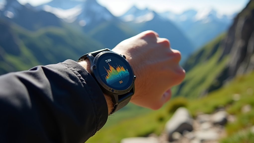
Analyzing Your Workout Elevation Gain and Progress
Once you’ve completed your hike or workout, your smartwatch provides valuable elevation data that you can analyze to understand your performance and track improvements over time.
You’ll want to review key metrics like total elevation gain, your pace on climbs, and how these numbers compare to previous workouts on similar terrain. Keep in mind that GPS-based elevation tracking typically has an error margin of a few meters when cross-referenced with known elevation databases.
This post-workout analysis becomes the foundation for monitoring your fitness progress and setting realistic goals for future outdoor adventures.
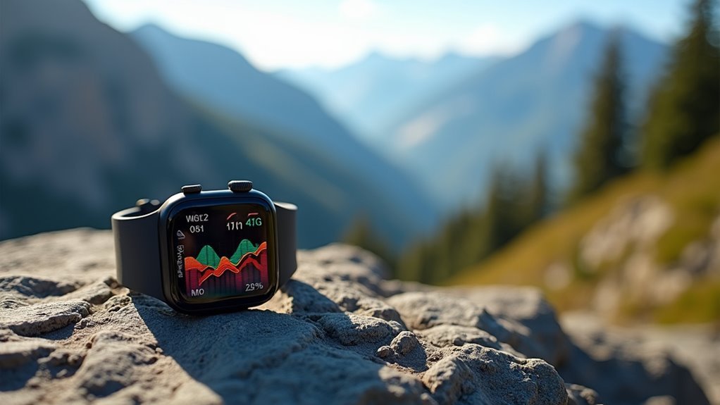
Post-Workout Data Analysis
After completing your workout, analyzing the elevation data becomes essential for understanding your performance and tracking progress over time. Your smartwatch’s companion app provides detailed elevation profiles that visualize ascent and descent splits for each workout segment, helping you understand how terrain affected your pacing and performance.
- Cross-reference with trail maps – Validate your device’s accuracy by comparing recorded elevation gain with official trail data or mapped elevations.
- Monitor consistency trends – Look for progressive increases in elevation gain capacity, while flagging sudden jumps that may indicate calibration errors.
- Calculate derived metrics – Use elevation and distance data to determine time spent ascending and average grade for deeper workout insights.
These analysis tools help you make tactical adjustments for future workouts while ensuring your elevation data remains reliable. Testing your smartwatch on various trail conditions will help verify its accuracy and build confidence in your recorded metrics.
Tracking Fitness Progress
Beyond analyzing individual workout sessions, consistently tracking elevation gain over weeks and months reveals meaningful patterns in your fitness development. Your smartwatch’s elevation data becomes a powerful tool for measuring improvement in cardiovascular endurance, muscular strength, and overall workout intensity.
| Metric | Week 1-4 | Week 5-8 | Week 9-12 |
|---|---|---|---|
| Average Elevation Gain (ft) | 500 | 650 | 800 |
| Heart Rate Recovery (min) | 8 | 6 | 4 |
| Caloric Burn per 100ft | 45 | 40 | 38 |
| Workout Duration (min) | 60 | 55 | 50 |
| Perceived Exertion (1-10) | 8 | 7 | 6 |
You’ll notice decreased recovery times, improved efficiency in caloric burn, and reduced perceived exertion as your fitness progresses. Regular elevation tracking helps identify plateaus and guides training adjustments for continued improvement. For optimal accuracy, consider daily calibration of your smartwatch’s altimeter against known elevation points, as this practice can significantly improve the reliability of your fitness progress measurements.
Frequently Asked Questions
Can I Use Elevation Tracking Indoors on a Treadmill or Stair Climber?
You can’t accurately track elevation gain indoors using your smartwatch. Treadmills don’t provide actual elevation changes, and stair climbers confuse GPS-dependent devices. You’ll get better results using heart rate instead.
How Much Battery Life Does Continuous Elevation Tracking Consume on Smartwatches?
You’ll experience significant battery drain with continuous elevation tracking since it requires GPS and multiple sensors. Expect 35-120 hours depending on your device, with solar models lasting longest during outdoor activities.
Do Elevation Tracking Features Work Accurately While Swimming or Doing Water Sports?
You won’t get accurate elevation tracking while swimming since water interferes with GPS signals and elevation gain isn’t relevant for water sports. Your smartwatch focuses on distance and stroke tracking instead.
Can I Export Elevation Data to Third-Party Fitness Apps Like Strava?
You can export elevation data to Strava using TCX or FIT files from your smartwatch. These formats retain detailed elevation information, ensuring accurate transfer to third-party apps while preserving barometric data.
What’s the Minimum Elevation Change My Smartwatch Can Accurately Detect?
Your smartwatch can detect elevation changes as small as 9 feet with top models like Garmin and Apple Watch. However, real-world accuracy depends on calibration, weather conditions, and your device’s sensor quality.
In Summary
You’ll get the most from your smartwatch elevation tracking by understanding the technology behind it and calibrating it properly. Choose a watch with reliable barometric sensors, account for weather changes, and optimize your settings for outdoor adventures. Track your progress consistently to see real improvements in your hiking performance. With the right approach, you’ll transform elevation data into valuable insights that’ll push your outdoor activities to new heights.


Leave a Reply