You’ll get the most accurate altimeter readings by combining manual calibration at known elevation points with GPS-based corrections. Start by calibrating your device at survey benchmarks or known elevations, then enable automatic GPS calibration for continuous accuracy. Regular barometric pressure adjustments are essential since weather changes can cause readings to drift by 300+ feet. Clean your sensors regularly and recalibrate frequently in changing conditions. Master these fundamentals to access advanced techniques that’ll maximize your altimeter’s precision potential.
Understanding Barometric Pressure Settings for Smartwatch Accuracy
Two primary factors determine your smartwatch’s altimeter accuracy: the quality of its internal barometric pressure sensor and how well you’ve calibrated the device’s pressure settings.
Your watch measures absolute air pressure and calculates altitude based on reference values, but environmental changes require constant adjustments.
Environmental changes constantly affect air pressure readings, making regular calibration essential for maintaining accurate altitude measurements on your smartwatch.
Weather conditions considerably impact ambient pressure readings, so you’ll need frequent recalibration for accurate results. Most smartwatches offer both automatic and manual calibration modes.
While automatic calibration uses location-based adjustments, manual calibration gives you precise control using known elevation reference points.
Your watch continuously monitors pressure changes, even in low-power modes, providing real-time elevation data. Debris or water blocking the sensor port can cause inaccurate readings and affect your device’s performance.
You can display readings in various units—millibars, mmHg, inches, or Pa—depending on your preference and environmental requirements for ideal accuracy.
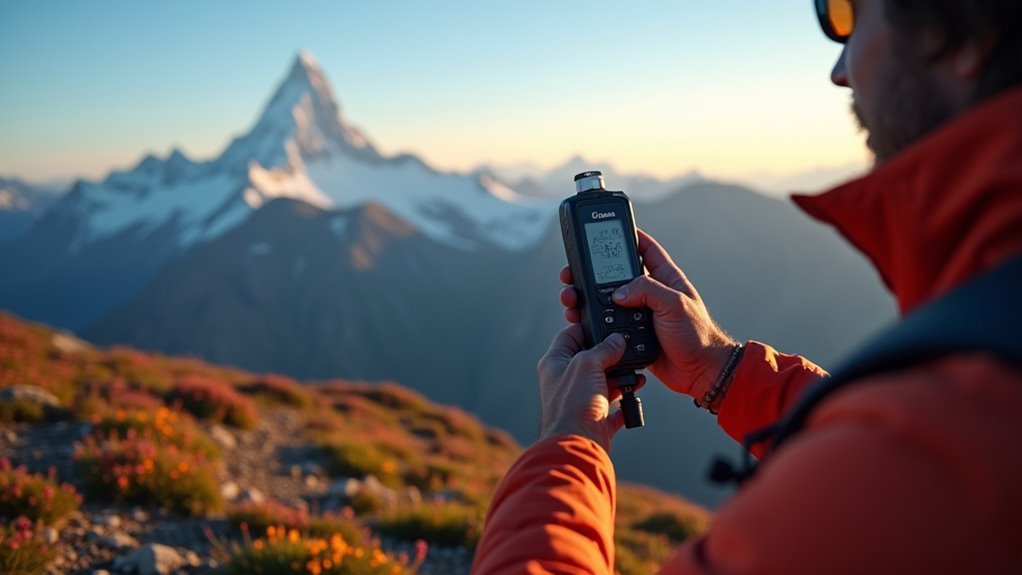
Manual Calibration Methods Using Known Elevation Points
How can you achieve the most precise altimeter calibration for your smartwatch? Manual calibration using known elevation points delivers the highest accuracy when you have reliable reference data. You’ll input your current altitude directly through device settings, which reduces errors from atmospheric pressure changes and GPS drift.
| Method | Accuracy Level |
|---|---|
| Survey Benchmarks | Highest precision |
| DEM Databases | Moderate accuracy |
| Field Checkpoints | Variable precision |
Survey benchmarks provide authoritative elevation data with traceability to official geodetic standards, though they’re harder to access in remote areas. DEM databases automatically set elevation based on your location when exact data isn’t available. Manual input proves particularly valuable in locations without GPS signal where automatic calibration methods fail to function properly. Regular verification against independent measurements guarantees your calibration remains accurate throughout your activity.
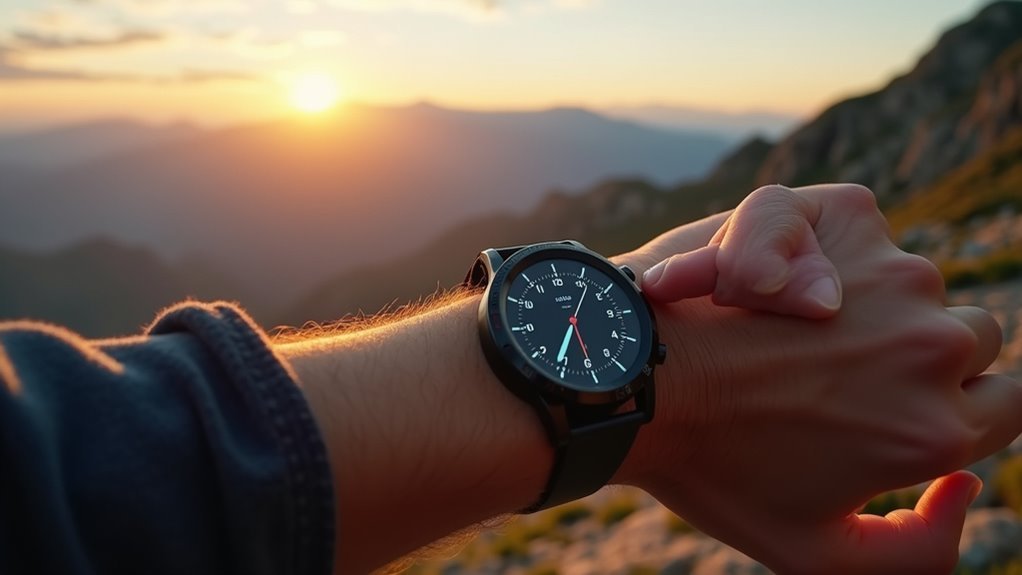
GPS-Based Calibration Techniques for Wearable Devices
When manual calibration isn’t practical, GPS-based techniques offer automated alternatives that require minimal user intervention. Your wearable device can automatically calibrate at activity start using GPS-derived elevation as the initial reference. Most devices enable this feature by default, combining GPS data with barometric readings for improved accuracy.
GPS-based calibration provides hands-free automation, combining satellite elevation data with barometric sensors for seamless accuracy without manual intervention.
For better precision, you’ll want to use DEM calibration when available, which references detailed topographic maps rather than raw GPS coordinates.
Start activities in open areas where your device can acquire strong satellite signals, as GPS vertical accuracy typically ranges from 10-20 meters but can vary greatly based on satellite geometry. Keep in mind that factory settings may vary by device model, affecting how your specific unit handles GPS-based calibration protocols.
You can trigger recalibration during longer activities at known waypoints, helping counteract barometric drift while maintaining continuous elevation tracking throughout your adventure.
Environmental Factors That Affect Smartwatch Altimeter Readings
Several environmental factors can dramatically impact your smartwatch’s altimeter accuracy, often causing readings to drift by hundreds of feet during outdoor activities.
Weather changes pose the biggest threat—high temperatures cause pressure drops that throw off barometric readings, while humidity fluctuations create additional measurement errors. Air pressure variations from approaching storms or weather fronts directly affect your device’s ability to calculate elevation accurately.
Your surroundings also matter greatly. Buildings and terrain can block GPS signals, while large bodies of water create reflection issues that skew readings. Metal objects nearby interfere with sensor accuracy, and inclement weather like rain or snow compounds these problems.
Temperature fluctuations throughout your activity session will cause continuous drift, making regular recalibration essential for maintaining reliable altitude data during extended outdoor adventures. Most smartwatch altimeters lack temperature compensation, which means even moderate ambient temperature changes can significantly affect measurement precision.
Field Testing Your Smartwatch Altimeter Across Different Conditions
Nothing beats real-world testing to understand how your smartwatch altimeter performs across varying environmental conditions. You’ll need to test your device systematically across diverse terrains and weather patterns to identify its strengths and limitations.
Start by testing in flatlands, valleys, ridges, and summits to evaluate performance under different atmospheric pressures. Compare readings during sunny, cloudy, and stormy weather to assess barometric influence. Test at various times throughout the day to determine temperature fluctuation impacts.
| Test Condition | Key Variables to Monitor |
|---|---|
| Terrain Variation | Flatlands, valleys, ridges, summits |
| Weather Patterns | Sunny, cloudy, stormy conditions |
| Temperature Changes | Dawn, midday, evening readings |
| Altitude Ranges | Sea level to high elevation |
| Microclimate Zones | Forest to exposed areas |
Document your findings to establish calibration patterns specific to your typical outdoor environments. Remember that GPS apps have shown higher accuracy compared to barometric altimeters in testing, though barometric units can improve significantly with proper recalibration.
Digital Elevation Model Integration for Enhanced Precision
You’ll achieve superior altimeter accuracy by integrating Digital Elevation Model (DEM) data from reliable sources like SRTM, ASTER GDEM, or high-resolution LiDAR datasets.
Compare your GPS-derived elevations against DEM reference points to identify systematic errors and apply corrections that account for atmospheric pressure variations.
Enhance this process by cross-referencing topographic maps with your DEM data, creating multiple validation layers that guarantee consistent elevation readings across varied terrain conditions. Since DEM relies on accurate 2D positioning to determine elevation from the embedded map model, ensure your GPS receiver maintains optimal satellite reception for the most precise terrain matching.
DEM Data Sources
Digital elevation models rely on diverse data sources that determine their accuracy and reliability for altimeter calibration.
You’ll find that global DEM products often stem from satellite optical imagery, such as ASTER GDEM, which is commonly used in commercial and research applications.
ICESat-2 altimeter data, a satellite laser altimeter dataset, can be integrated with optical imagery DEMs to enhance your elevation accuracy globally.
The fusion of satellite laser altimeter data with optical GDEM products improves vertical accuracy by correcting errors inherent in optical imagery models.
Regional and local DEMs, including high-accuracy terrain control points, are used to validate and further improve global DEM datasets. Modern GPS devices often require GPS locating before DEM calibration can be completed successfully.
This combination of different datasets and correction algorithms leads to DEM products with considerably lower root mean square error in elevation.
GPS-DEM Comparison Methods
With quality DEM data sources identified, effective comparison methods become necessary to validate altimeter accuracy against GPS measurements.
You’ll find DEM typically delivers superior elevation precision due to detailed topographic data, while GPS offers universal accessibility through satellite coverage.
Key comparison factors include:
- Accuracy differential – DEM provides more precise readings in well-mapped terrain versus GPS’s broader coverage
- Environmental dependencies – GPS accuracy fluctuates with satellite signal strength and weather conditions
- Data accessibility – DEM requires internet connectivity or stored maps while GPS works anywhere with satellite reception
- Calibration speed – GPS calibrates faster since it doesn’t need map downloads
You can maximize performance by implementing a hybrid approach that combines both methods, leveraging DEM’s precision where available while maintaining GPS’s universal backup capability. Modern continuous calibration systems utilize GPS, DEM, and user calibration information together to provide periodic readings that reduce elevation fluctuations during activities.
Topographic Map Integration
Three primary integration methods transform basic altimeter readings into precision elevation measurements through Digital Elevation Model data. You’ll achieve superior results by combining manual calibration with known elevation points, automated DEM reference matching, and real-time correction workflows.
| Method | Accuracy Level | Best Application |
|---|---|---|
| Manual Point Calibration | High | Single location setup |
| Automated DEM Matching | Moderate | Continuous tracking |
| Hybrid Correction | Highest | Professional surveying |
You should calibrate your altimeter before each activity using topographic maps at known benchmarks. DEM resolution directly impacts your calibration precision—higher resolution captures finer terrain features. Remember to account for vertical datum compatibility between your DEM source and altimeter baseline. You’ll need periodic recalibration during extended use to compensate for barometric pressure changes affecting accuracy. Processing maps with Ground Control Points significantly improves elevation accuracy by providing precise reference coordinates throughout your survey area.
Maintaining Long-Term Calibration Accuracy Through Regular Updates
You’ll need to establish consistent recalibration frequency standards that align with your specific operational requirements and regulatory guidelines.
Your calibration program must actively track environmental changes like temperature fluctuations, humidity levels, and atmospheric pressure variations that can affect instrument accuracy over time.
You should maintain thorough documentation and record keeping systems that capture every calibration event, environmental condition, and performance measurement to identify trends and predict when interventions are necessary. Regular inspections reveal that approximately 50% of aircraft require some form of leak repair or adjustment during their biennial checks.
Recalibration Frequency Standards
Establishing proper recalibration intervals forms the foundation of maintaining altimeter accuracy over time.
You’ll need to follow manufacturer guidelines while adapting to your specific operational conditions and regulatory requirements.
Standard recalibration practices include:
- Annual schedules for instruments experiencing drift or environmental effects, with survey-grade equipment requiring stricter intervals
- Immediate recalibration after physical damage, shock, or overpressure exposure regardless of scheduled maintenance
- Extended intervals when instruments demonstrate stable zero adjustments and consistent readings during operational checks
- Shortened frequencies for harsh environmental exposure involving rapid temperature or pressure changes
You should adjust your calibration schedule when altitude reading discrepancies appear during routine checks.
Critical applications like flight operations above 18,000 feet MSL demand stricter standards for FAA compliance.
Environmental Change Tracking
While maintaining consistent recalibration schedules provides the baseline for accuracy, tracking environmental changes guarantees your altimeter’s long-term precision remains intact despite evolving conditions.
You’ll need to monitor atmospheric variations that affect barometric readings, including weather patterns, humidity fluctuations, and air pressure changes that cause calibration drift over time.
Cross-calibrate your device against established measurement systems to detect bias changes and maintain continuity.
Use statistical methods like filtering theories to extract long-period drifts from noisy data.
Monitor instrument degradation by analyzing signal strength variations, particularly if you’re using satellite-based systems exposed to cosmic radiation.
Regular GPS-based corrections help compensate for environmental fluctuations, ensuring your altimeter maintains measurement fidelity across multi-decadal scales despite changing conditions. Implement tide gauge comparisons to isolate and diagnose potential drift patterns by differencing time series data, which cancels common signals and reduces measurement variance.
Documentation and Record Keeping
Although environmental tracking identifies calibration drift, thorough documentation transforms these observations into actionable maintenance protocols that preserve your altimeter’s accuracy over years of operation.
You’ll need standardized digital formats that guarantee consistency across all maintenance records while enabling easy data retrieval and compliance tracking.
Your documentation system should capture:
- Calibration event logs with dates, technicians, reference standards used (TSO-C10a, MIL-SPEC), and tolerance limits like ±20 feet
- Regular quality control checks on calibration data accuracy and instrument maintenance activities
- Regulatory compliance records following FAA standards and manufacturer guidelines for certification requirements
- Usage tracking schedules that trigger calibrations based on aircraft performance monitoring and detected deviations
Establish feedback loops between documentation and technician training programs to continuously improve your calibration processes. Temperature variations can introduce significant measurement errors, particularly during cold weather operations where altitude discrepancies may exceed 300 feet at higher elevations.
Frequently Asked Questions
How Often Should I Recalibrate My Altimeter During Extended Multi-Day Expeditions?
You should recalibrate your altimeter daily during multi-day expeditions, preferably at dawn when atmospheric pressure’s most stable. Also recalibrate after major altitude changes, weather events, or when you notice significant reading discrepancies.
Can Temperature Extremes Permanently Damage My Altimeter’s Calibration Accuracy?
Temperature extremes can permanently damage your altimeter’s calibration accuracy through repeated exposure. Internal components may degrade over time, causing calibration drift. Stay within manufacturer-specified temperature ranges to prevent damage.
What Backup Calibration Methods Work When GPS Signals Are Unavailable?
You’ll need manual elevation input using known landmarks, barometric calibration with atmospheric pressure readings, or map-based calibration through digital elevation models stored locally on your device.
How Do I Calibrate Altimeters for Underwater Depth Measurements Effectively?
You’ll calibrate underwater altimeters by zeroing at surface level, then validating readings at multiple known depths while applying correction factors for temperature and salinity effects on your pressure-based or acoustic sensors.
Which Altimeter Brands Maintain Calibration Best in High Humidity Environments?
You’ll find Peet Bros. altimeters with metal movements and SSK Military Industries models perform best in high humidity. They’re less sensitive to moisture changes and maintain calibration accuracy longer than electronic alternatives.
In Summary
You’ll achieve ideal altimeter accuracy by combining multiple calibration techniques rather than relying on just one method. Start with barometric pressure adjustments, then verify using known elevation points and GPS data. Don’t forget to account for weather changes and temperature fluctuations that’ll affect readings. Regular field testing across various conditions will help you identify your device’s specific quirks. Update calibration settings frequently, and you’ll maintain reliable elevation measurements for all your outdoor adventures.


Leave a Reply