
To maximize GPS reception while forest hiking, seek open areas or higher ground with clear sky views. Use multi-system GPS devices that connect to multiple satellite networks simultaneously. Consider external antennas or signal boosters for challenging conditions. Keep your device’s battery efficient by dimming the screen and using power-saving modes. Position your GPS away from your body and other electronic equipment. The following strategies will transform your navigation experience in even the densest forest environments.
Strategic Positioning for Maximum Satellite Reception
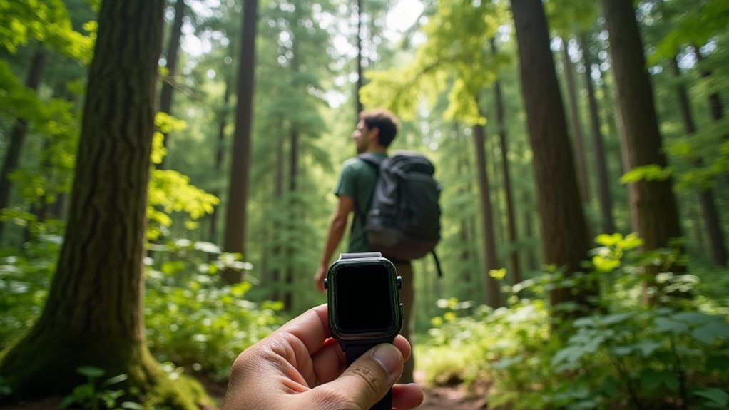
When hiking through dense forests, your GPS device’s effectiveness depends largely on its ability to maintain clear communication with satellites overhead. To maximize reception, seek open areas whenever you need to check your position or mark a waypoint.
Move to clearings, ridgelines, or elevated spots to escape the signal-blocking canopy. The higher you climb, the better your reception will be—mountain tops provide excellent connectivity due to unobstructed sky views.
For optimal GPS signals, seek higher ground where the sky is visible and trees can’t block satellite communication.
If you’re hiking in a canyon or deep valley, consider climbing to higher ground before relying on your GPS. Weather also affects signal quality, so you’ll get better readings during clear conditions. Handheld GPS units typically offer superior satellite reception in remote wilderness areas compared to smartphones.
Whenever possible, position yourself away from dense foliage and terrain obstacles that could interfere with your device’s ability to communicate with satellites.
Multi-System GPS Devices: Why They Matter in Dense Forests
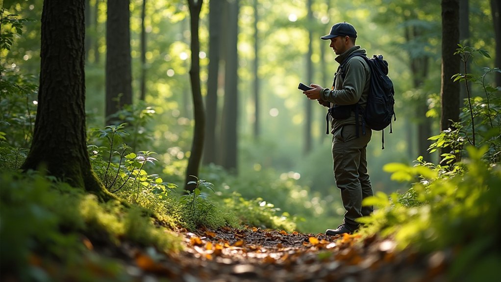
Maneuvering through dense forest canopies becomes considerably more dependable when you’re equipped with a multi-system GPS device rather than traditional single-system units.
These devices access satellites from GPS, GLONASS, Galileo, and other networks simultaneously, delivering vital advantages when trees block your signal.
Multi-system devices offer:
- Enhanced signal reception – You’ll maintain positioning even when one satellite system is compromised.
- Greater accuracy – More satellite connections mean more precise location data.
- Better performance in marginal conditions – They work where single-system units fail.
- Advanced safety features – Many include emergency SOS functions with precise location sharing.
Don’t underestimate the importance of these features when hiking remote trails.
When selecting a device, prioritize water resistance, battery life, and durability to guarantee reliability throughout your forest adventures. Regular location checks during hiking breaks help ensure you stay on course and avoid getting lost in dense forestry.
Essential Hardware Accessories to Boost Signal Strength
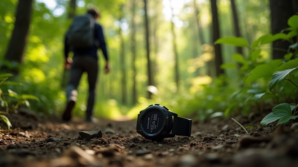
Even the most advanced multi-system GPS devices can benefit from strategic hardware accessories that greatly boost signal strength in challenging forest environments.
External antennas and signal boosters can dramatically improve reception when attached to your handheld GPS device, especially in dense canopy areas.
Consider adding antenna extenders to gain better line-of-sight to satellites, or using GPS signal reflectors to redirect signals around obstacles.
For smartphone users, specialized phone cases with integrated GPS antennas offer enhanced performance without extra bulk. Due to current server upgrades, some GPS information websites may be temporarily unavailable while improving their performance.
Don’t overlook the value of stable antenna mounts, which minimize movement interference and maintain consistent connections.
External GPS receivers that connect via Bluetooth to your smartphone can also transform your phone into a professional-grade navigation tool when traditional reception fails.
Weather Patterns and Their Impact on GPS Reception
Weather plays an essential role in determining GPS reliability during forest hikes, often becoming the invisible barrier between accurate navigation and disorientation. Your GPS signal must travel through atmospheric layers before reaching your device, and various weather conditions can interfere with this journey.
For ideal GPS performance in changing weather conditions:
- Heavy precipitation greatly degrades signal strength—expect reduced accuracy during thunderstorms and heavy rainfall.
- Cold temperatures drain batteries faster and allow ice buildup on antennas—keep your device warm and protected.
- Dense cloud cover attenuates signals and decreases positioning accuracy—prepare alternative navigation methods when storms approach.
- High humidity creates tropospheric delays that affect signal travel time—expect reduced precision in humid forest environments.
Ionospheric disturbances, especially during periods of solar storms, can significantly impact your GPS positioning data and should be considered when planning extended forest excursions.
Balancing Device Settings for Optimal Battery Life and Accuracy
One of the most essential balancing acts for forest hikers involves managing device settings to maximize both battery life and GPS accuracy. Dim your screen brightness and activate power-saving modes to greatly extend battery life without sacrificing core functions.
Disable unnecessary features like Bluetooth, Wi-Fi, and location services when they’re not needed. Setting a GPS update interval of 60-90 seconds significantly improves battery efficiency while maintaining adequate tracking capability. Choose GPS-only mode for general navigation, but switch to high-precision settings only when terrain demands it. Pre-loading your routes reduces the need for constant GPS checks while maintaining accuracy.
During hikes, minimize screen interactions and use GPS strategically—only turning it on when necessary to check location. For longer excursions, carry spare batteries or a power bank.
Select GPS apps specifically designed for low power consumption to guarantee your device stays functional throughout your adventure.
Frequently Asked Questions
How Do Different Forest Types Affect GPS Signal Quality?
In dense forests, you’ll experience poorer GPS signals due to signal scattering. Deciduous forests improve reception in winter when leaves fall, while coniferous forests maintain year-round interference regardless of season. Mountainous forest terrain further degrades accuracy.
Can GPS Devices Accurately Measure Elevation in Dense Forests?
No, your GPS won’t accurately measure elevation in dense forests. Signal scattering and multipath errors cause significant inaccuracies as trees bounce signals around, compromising the vertical data your device receives.
How Often Should I Update My GPS Device’s Firmware?
You should update your GPS device’s firmware whenever updates become available. Check the manufacturer’s website periodically for new releases, as regular updates improve reliability, fix bugs, and enhance navigation accuracy for your device.
Are Smartphone GPS Capabilities Comparable to Dedicated Hiking Devices?
Smartphones have improved GPS but still lag behind dedicated devices in battery life, durability, and signal strength in dense forests. You’ll find a dedicated hiking GPS more reliable for remote adventures despite the cost.
What Emergency Features Should I Look for in Forest GPS Devices?
Look for devices with SOS buttons, satellite connectivity, two-way messaging, and global coverage. You’ll want water-resistant models with long battery life. Don’t compromise on emergency features—they’re essential when cell service is unavailable.
In Summary
You’ll face unique challenges with GPS in forests, but the right preparation makes all the difference. Position yourself strategically, invest in multi-system devices, and use signal-boosting accessories when needed. Don’t forget to adjust your settings based on weather conditions. With these techniques, you’re balancing battery conservation and accuracy while greatly improving your navigation reliability—even under dense canopy cover.


Leave a Reply