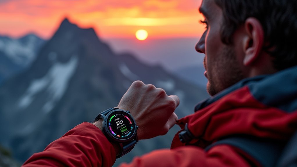
You’ll find GPS watches and smartwatches with barometric altimeters are your best options for tracking summit elevation, offering accuracy within 10-15 feet of official peak data. Top performers include Garmin’s Forerunner 965, COROS PACE 3, and Apple’s Watch Ultra 2, which combine satellite positioning with atmospheric pressure sensors for precise altitude readings. These devices feature ABC sensors (altimeter, barometer, compass) and maintain excellent battery life for extended climbs, ensuring you’ll capture every foot of your mountaineering achievements with professional-grade precision.
GPS Watches and Smartwatches With Barometric Altimeters
When you’re planning a mountaineering expedition, GPS watches and smartwatches with barometric altimeters serve as essential navigation tools that combine satellite positioning with atmospheric pressure monitoring.
These devices calculate elevation using air pressure changes alongside GPS data, providing more accurate readings than GPS alone. You’ll find extensive ABC sensors (altimeter, barometer, compass) in many models, offering complete navigation capabilities.
GPS watches typically excel in battery life and ruggedness, making them ideal for extended climbs. They often support multiple satellite systems like GPS, Galileo, and GLONASS for improved accuracy. Modern models feature heart rate monitoring and activity tracking alongside traditional navigation tools.
Smartwatches offer versatility but may lack manual calibration options, which can affect precision. Brands like Garmin, Apple, and Polar provide reliable barometric altimeter support, though accuracy varies between manufacturers.
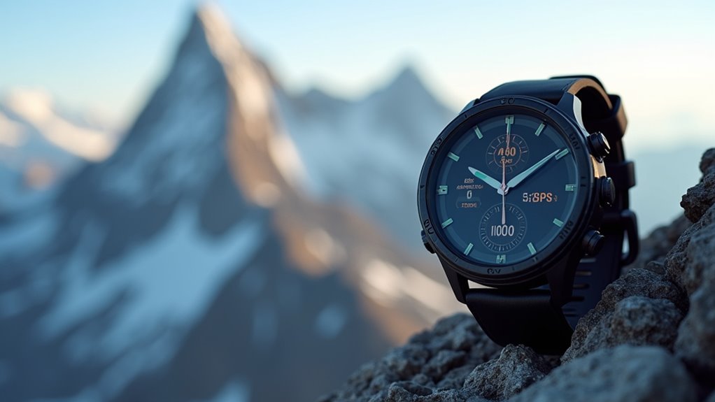
Top-Rated Models for Accurate Summit Elevation Measurement
You’ll find several standout models that consistently deliver precise summit elevation measurements across different brands.
Garmin’s Forerunner 965 and COROS PACE 3 lead the pack for serious mountaineers who demand accuracy, while Apple’s Watch Ultra 2 offers excellent precision with user-friendly features.
Samsung’s Galaxy Watch 6 Classic provides a more budget-friendly option, though it sacrifices some accuracy compared to the premium models. Keep in mind that barometric devices tend to overestimate elevation gain while GPS-only models typically underestimate it, so understanding your device’s tendencies can help you interpret readings more effectively.
Garmin and COROS Models
Among mountaineering wearables, Garmin and COROS models stand out as the most reliable options for precise summit elevation measurement, with both brands delivering accuracy within 10-15 feet of official data in real-world testing.
Garmin’s Fenix series and Enduro models excel with topographic color maps, multiple satellite systems integration, and barometric altimeters that showed just 8 feet deviation on Mount Diablo.
You’ll benefit from breadcrumb navigation and “Back to Start” features during challenging ascents.
COROS Apex Pro matches Garmin’s elevation precision while adding specialized altitude physiological monitoring through pulse oximetry above 8,250 feet. COROS provides software updates that enhance performance across all models, ensuring your mountaineering device stays current with the latest elevation tracking improvements.
This oxygen saturation tracking helps prevent Acute Mountain Sickness during high-altitude climbs.
Both brands maintain excellent battery life for extended expeditions, though Garmin’s topographic mapping provides superior visual context for complex terrain navigation.
Apple and Samsung Options
Apple and Samsung watches bring mainstream accessibility to summit tracking, though they can’t match the specialized precision of dedicated mountaineering devices.
Apple Watch offers superior elevation tracking with built-in altimeters since Series 3. You’ll get real-time elevation data through the native Compass app, elevation alerts, and hiking workout integration. Third-party apps like Altimeter Tracker + enhance functionality with barometric logging and CSV exports.
Samsung Galaxy Watches lack native altimeter apps, requiring third-party solutions and phone connectivity for accurate readings.
The Compass app provides four views for navigation, including an initial bearing view with waypoints and elevation perspectives that help visualize your summit progress.
| Feature | Apple Watch | Samsung Galaxy |
|---|---|---|
| Built-in Altimeter | Yes (Series 3+) | No |
| Native Elevation App | Compass app | None |
| Phone Independence | Yes | Limited |
| Elevation Alerts | Yes | Via third-party |
| Hiking Workout Mode | Yes | Basic |
Apple’s ecosystem delivers better mountaineering functionality overall.
Barometric Vs GPS Altitude Technology Comparison
When you’re selecting altitude tracking technology for your mountaineering adventures, you’ll need to understand the fundamental differences between barometric and GPS systems.
Barometric altimeters measure atmospheric pressure changes, delivering more precise elevation profiles with typical accuracy superior to GPS. However, they require regular calibration and can accumulate errors over time, especially during trips with significant altitude changes.
GPS altimeters use satellite signals for elevation tracking, offering 20-25 meter accuracy without calibration needs. They’re ideal for long expeditions where calibration points aren’t available, though they’re generally less precise than barometric systems.
Modern mountaineering wearables like Garmin fēnix series combine both technologies, giving you extensive tracking capabilities. The latest fenix 8 AMOLED models feature enhanced display technology that makes elevation data clearly visible even in challenging mountain conditions.
This hybrid approach provides barometric precision for detailed elevation changes while maintaining GPS reliability for extended adventures.
Essential Features for Mountain Summit Tracking
Five critical features separate basic fitness trackers from serious mountaineering wearables designed for summit pursuits.
Elevation measurement stands as your primary requirement. You’ll need devices with barometric altimeters or GPS technology that deliver real-time elevation data throughout your climb. These watches track altitude changes in 3 ft. increments, providing precise measurements as you ascend toward your summit.
Route navigation keeps you on track with GPS mapping and topographic features guiding you toward your summit goal.
Weather monitoring protects you through barometric pressure alerts that warn of approaching storms before they strike.
Performance tracking measures your heart rate and physical exertion, helping you manage energy levels during demanding ascents.
Data logging captures your complete climbing profile—elevation gain, loss, distance, and vertical metrics—creating detailed records you can analyze post-climb for future expedition planning and performance improvement.
Battery Life and Durability Requirements for High-Altitude Adventures
Since mountaineering expeditions can stretch across multiple days or weeks in remote locations, your wearable device must deliver exceptional battery endurance that won’t leave you stranded without critical navigation and safety data.
Top mountaineering watches now offer 100+ hours of GPS tracking, with models like the Garmin Enduro 2 providing up to 150 hours. Solar charging capabilities harness abundant alpine sunlight, extending battery life during multi-day ascents above the treeline.
| Device Feature | Standard Performance | Elite Performance |
|---|---|---|
| GPS Battery Life | 24-50 hours | 100-150 hours |
| Water Resistance | 50M rating | 100M+ rating |
| Screen Protection | Mineral glass | Sapphire crystal |
| Temperature Range | 32°F to 140°F | -4°F to 140°F |
| Satellite Systems | GPS only | GPS+GLONASS+Galileo |
Your device needs sapphire crystal screens and rugged casing to withstand extreme temperatures, physical impacts, and harsh weather conditions encountered at high altitudes. Professional testing demonstrates that top-tier GPS watches maintain accuracy within 1-3% of measured distances even in challenging mountain canyon environments where satellite reception can be compromised.
Mobile Apps That Enhance Elevation Data Analysis
While your mountaineering wearable captures raw elevation data during climbs, specialized mobile apps transform those numbers into actionable insights that can improve your performance and safety on future expeditions.
Apps like Altimeter combine GPS, barometric pressure, and network data to deliver high-precision altitude measurements with real-time feedback essential for route planning.
You’ll get thorough analytics including elevation profiles, ascent/descent tracking, and performance metrics like calories burned and pace analysis.
These apps create detailed route maps and elevation charts that visualize your climb’s difficulty and help identify challenging sections.
Many work offline and integrate seamlessly with your smartwatch, providing heart rate monitoring and customizable tracking for different activities.
You can export GPX data and share route summaries with fellow climbers. Some elevation tracking apps like Elevation Tracker specifically focus on climbing and descending activities, displaying real-time elevation profiles alongside accumulated vertical gain data.
Frequently Asked Questions
How Often Should I Calibrate My Altimeter for Accurate Summit Readings?
You should calibrate your altimeter before starting each climbing activity and after significant weather changes. Recalibrate every few hours during long climbs, as readings can drift 50-75 feet over twelve hours.
Can Extreme Cold Temperatures Affect My Wearable’s Elevation Tracking Accuracy?
Yes, extreme cold notably affects your wearable’s elevation accuracy. Cold temperatures reduce battery performance, cause barometric sensor drift, slow processing speeds, and can create condensation that skews pressure readings essential for tracking elevation.
Do I Need Cellular Connectivity for Summit Elevation Tracking to Work?
You don’t need cellular connectivity for summit elevation tracking. Your wearable’s GPS sensor works independently to measure elevation accurately. Cellular only adds features like real-time sharing or notifications, not core tracking functionality.
How Do I Backup My Summit Elevation Data if My Device Fails?
Take photos of your watch readings at key waypoints, enable auto-sync to companion apps for cloud backup, carry a secondary GPS device, and record elevation milestones in a logbook.
Can Multiple Wearables Worn Simultaneously Provide More Accurate Elevation Readings?
You won’t get markedly improved elevation accuracy wearing multiple wearables simultaneously. Different sensors and algorithms create conflicting data rather than enhancing precision, though you’ll gain valuable redundancy if one device fails.
In Summary
You’ll find that GPS watches with barometric altimeters offer the most reliable summit tracking for your mountaineering adventures. Don’t overlook battery life and durability when you’re selecting your device, as harsh conditions can drain power quickly. You’re best served by pairing your watch with mobile apps that’ll analyze your elevation data thoroughly. Choose models that combine both GPS and barometric readings for maximum accuracy during your climbs.


Leave a Reply