To maximize GPS accuracy in high mountains, position your fitness watch on top of your wrist with clear sky visibility. Enable multi-constellation GNSS to access more satellites, helping overcome terrain obstacles. Manage battery life by adjusting update frequency and disabling unnecessary features. Combine barometric data with GPS for better altitude readings. In harsh weather, use dual-frequency reception and keep antennas clear of snow or ice. These techniques will transform your mountain navigation experience.
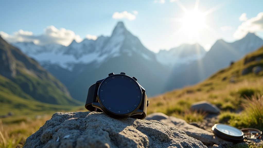
Strategic Placement of Your Fitness Watch for Signal Strength
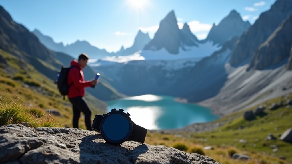
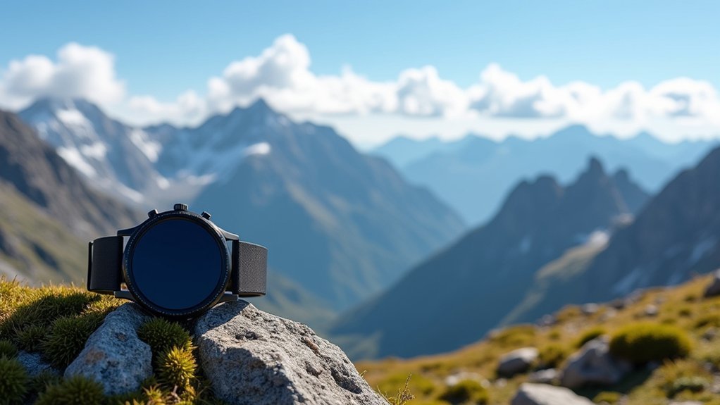
When traversing high mountain terrain, your fitness watch’s GPS accuracy depends greatly on how you position it. Wear your watch on top of your wrist to maximize sky exposure and satellite visibility. Keep it uncovered by clothing or gear that could block signals.
Ensure the watch fits snugly to prevent movement that degrades signal consistency, while maintaining comfort during your journey. Position your wrist away from your body and metal objects like trekking poles or backpack frames. High mountains can cause environmental obstructions that significantly degrade GPS signals, requiring optimal watch positioning.
For optimal GPS tracking, a secure fit balances stability with comfort while keeping distance from interference sources.
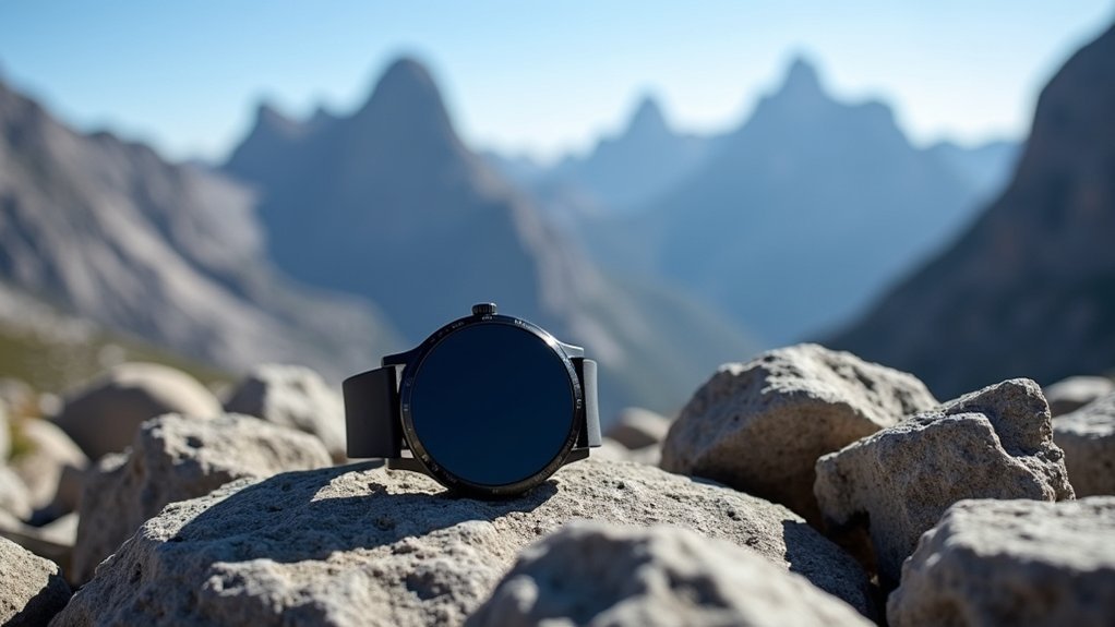
In challenging terrain, periodically raise your arm to enhance satellite line-of-sight. Keep the watch face oriented upward whenever possible, and once you’ve acquired a GPS signal, avoid rapid wrist movements that might interrupt tracking.
Allow several seconds of steady positioning when initializing GPS lock before starting your activity.
Leveraging Multi-Constellation GNSS Technology for Mountain Coverage
Although standard GPS provides basic navigation capabilities, leveraging multi-constellation GNSS technology dramatically improves your positioning accuracy in mountainous environments.
When hiking at high elevations where signal obstruction is common, accessing multiple satellite systems guarantees you’ll maintain reliable positioning even when terrain blocks some satellites. With at least 4 satellites required for accurate position calculation, multi-constellation technology ensures you’re never left without navigation.
- Access signals from GPS, GLONASS, BeiDou, and Galileo simultaneously for better coverage
- Benefit from increased satellite visibility that overcomes mountain ridges and deep valleys
- Utilize multi-frequency capabilities (L1, L2, L5, E5) to combat atmospheric interference
- Enable RTK or differential corrections for centimeter-level accuracy when needed
- Choose receivers with advanced chipsets designed specifically for challenging mountain conditions
Most modern fitness watches and navigation devices support multiple constellations—verify yours is configured to use all available systems.
Battery Management Techniques for Extended GPS Tracking
Beyond having access to multiple satellite constellations, your GPS device’s battery life represents the ultimate limiting factor for navigation in mountain environments.
To maximize tracking time, adjust location update frequency from real-time to intervals—this simple change dramatically extends battery life.
In cold mountain conditions, protect your device from temperature extremes that can rapidly deplete power. Implementing proper power management features can significantly reduce battery consumption in challenging environments.
When not needed, disable power-hungry features like Bluetooth, Wi-Fi, and geofencing. Most devices offer power-saving modes that limit functionality during periods of inactivity.
High-quality batteries and regular software updates improve efficiency, while proper storage in cool, dry places prevents degradation.
For multi-day expeditions, consider GPS units with high-capacity batteries that can last months rather than days. This investment provides both safety benefits and reduced long-term maintenance costs.
Data Filtering and Correction Methods for Altitude Accuracy
Accurate altitude measurement presents one of the greatest challenges for GPS devices in mountainous terrain, where vertical precision can be two to three times worse than horizontal accuracy.
To improve your elevation readings, consider these filtering and correction approaches:
- Utilize RTK or PPK techniques when possible—they provide centimeter-level accuracy by comparing your device to a base station.
- Combine barometric altimeter data with GPS readings to considerably reduce altitude errors.
- Enable WAAS or other satellite-based augmentation systems when available in your region.
- Apply data smoothing algorithms to filter out erratic altitude jumps common in mountain environments.
- Consider post-processing your GPS tracks with RINEX data for critical measurements that demand precision.
- Remember that GPS altitude readings differ from indicated altitude and should not be used for aircraft traffic separation in mountainous areas.
Weather-Specific Settings to Optimize Signal Reception
Weather conditions in mountainous environments can dramatically impact GPS signal quality, requiring specific device adjustments for ideal performance. When facing atmospheric challenges at high elevations, you’ll need to configure your GPS strategically.
| Weather Condition | Recommended Setting |
|---|---|
| Solar storms | Enable dual-frequency reception to mitigate ionospheric errors |
| Heavy rainfall | Activate high-sensitivity mode and use protective cover |
| Dense cloud cover | Position antenna with clear sky view and enable multi-frequency tracking |
| Snow/ice conditions | Regularly clear antenna surfaces and adjust position |
| Extreme temperature | Use weather-resistant receivers with proper power management |
Implementing augmentation systems like WAAS or EGNOS can significantly improve positioning accuracy when weather conditions deteriorate in mountainous regions. Don’t forget to update your firmware regularly, as manufacturers continually improve weather compensation algorithms. Using multiple GNSS constellations (GPS, GLONASS, Galileo) simultaneously can greatly enhance your receiver’s resilience against adverse weather conditions, particularly at high altitudes.
Frequently Asked Questions
Can GPS Watch Antennas Be Damaged by Extreme Mountain Temperatures?
Yes, your GPS watch’s antenna can be damaged by extreme mountain temperatures. Heat can degrade materials and cold may cause component failure, affecting signal acquisition. Consider your device’s operational temperature range for reliable performance.
How Much Does Professional Recalibration Improve GPS Accuracy in Mountains?
Professional recalibration can improve your GPS accuracy by 30-60% in mountains. You’ll see enhanced signal reception, correction of drift issues, and better multipath handling when your device receives proper calibration and firmware updates.
Do GPS Signal Boosters Interfere With Avalanche Beacons?
Yes, GPS signal boosters can interfere with your avalanche beacon. They generate electromagnetic fields that may disrupt beacon signals, especially in search mode. You should turn off all electronic devices during avalanche emergencies.
What Mountaineering Gloves Allow Touchscreen Operation While Maintaining GPS Reception?
You’ll want Mountain Equipment Touch Screen Gloves or similar models with conductive fingertips. They’re designed for mountaineering, offer touchscreen compatibility, and won’t interfere with GPS signals during your expeditions.
How Do Cliff Faces Affect GPS Accuracy Compared to Dense Forest?
Cliff faces cause abrupt signal blocking and multipath errors, while dense forests gradually attenuate signals through scattering. You’ll notice more sudden GPS dropouts near cliffs, whereas forests create consistent but less severe accuracy issues.
In Summary
You’re now ready to tackle even the highest mountains with confidence in your GPS readings. By positioning your watch strategically, utilizing multiple satellite systems, managing battery life, applying data corrections, and adjusting for weather conditions, you’ll maintain reliable tracking throughout your adventure. Remember, it’s not just about having GPS technology—it’s about using it intelligently to enhance your mountain experience and safety.


Leave a Reply