Your fitness tracker’s elevation readings struggle because barometric pressure sensors—delicate silicon membranes responding to atmospheric changes—face interference from rapid weather shifts, urban heat islands, and temperature extremes that cause component expansion. Manufacturing variations create 20% minimum error rates, while GPS signal reflection in complex terrain adds multipath interference. Poor device placement, inconsistent calibration, and algorithm conflicts between GPS and barometer data compound these issues, creating substantial measurement errors that vary considerably between brands and models.
The Physics Behind Barometric Pressure Sensors
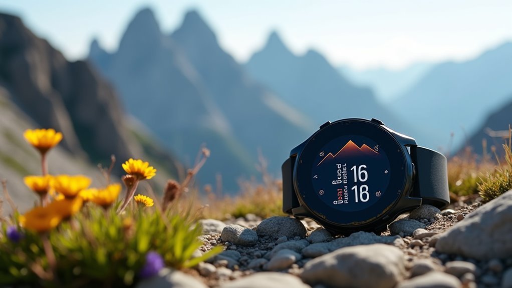
When you strap on your fitness tracker and head up a mountain trail, you’re relying on a sophisticated barometric pressure sensor that converts atmospheric changes into precise elevation readings.
Your wrist-worn altimeter relies on microscopic pressure changes to track every step of your vertical journey through sophisticated barometric sensing technology.
Your device’s sensor contains a silicon membrane or diaphragm that flexes when atmospheric pressure changes. As you climb higher, decreasing air pressure causes this membrane to deform, generating an electrical signal that’s amplified and converted from analog to digital data through an ADC.
Temperature compensation circuits guarantee accuracy across varying conditions, while algorithms calculate your altitude using formulas that account for pressure changes with elevation. These sensors can detect pressure differences as small as 0.01 hectopascals, making them extremely sensitive to atmospheric variations.
However, this seemingly straightforward process faces significant challenges that affect the reliability of your elevation data.
Environmental Factors That Skew Altitude Readings
While barometric sensors form the technical foundation of elevation tracking, environmental conditions constantly challenge their accuracy in real-world scenarios.
You’ll encounter the most significant disruptions when atmospheric conditions shift rapidly around you.
Temperature and humidity changes directly alter atmospheric pressure, causing your device’s elevation readings to fluctuate unexpectedly.
Weather fronts passing through your area create temporary pressure baselines that skew altitude measurements.
Here’s what impacts your wearable’s elevation accuracy most:
- Rapid weather changes like storms altering local pressure references
- Urban heat island effects creating localized atmospheric variations
- Temperature extremes causing thermal expansion in device components
- Complex terrain reflecting GPS signals and creating multipath interference
- Environmental exposure to sweat, moisture, and dirt degrading sensor functionality
These environmental challenges become particularly problematic because extreme weather conditions like high temperatures, rain, and snow are already known to affect physical activity patterns and device performance. Studies show that adverse weather conditions consistently lead to decreased device reliability, compounding the accuracy issues that fitness wearables face during elevation tracking.
Software Algorithms and Data Processing Challenges
You’ll find that your wearable’s software presents unique hurdles beyond environmental interference when calculating how much you’ve climbed.
The device’s algorithms struggle with elevation gain calculations, especially when they can’t effectively filter out noise from multiple sensors working simultaneously. These algorithms provide estimates rather than exact measurements, which can lead to significant discrepancies in your recorded elevation data.
These processing challenges become even more complex when you’re using third-party fitness apps that weren’t designed specifically for your device’s hardware limitations.
Elevation Gain Calculation Errors
Although fitness wearables promise precise elevation tracking, the software algorithms powering these calculations frequently struggle with fundamental data processing challenges that can markedly skew your recorded elevation gain.
Your device’s elevation calculations face several critical obstacles:
- Barometer drift – Air pressure sensors experience gradual calibration shifts over time and location changes.
- GPS-barometer conflicts – Integration challenges between different sensors create inconsistent readings when data isn’t properly synchronized.
- Software update bugs – Algorithm changes can introduce new calculation errors, as documented in Fitbit devices.
- Environmental interference – Weather-induced pressure changes and physical barriers like clothing disrupt sensor accuracy.
- Activity-specific limitations – Generic algorithms struggle to adapt between different exercise types requiring distinct processing approaches.
These algorithmic complexities mean your expensive device might deliver surprisingly inconsistent elevation data. Some users experience deviations where their wearable records 40% to 60% higher elevation gain than the actual terrain changes, highlighting the significant impact of these processing errors.
Noise Filtering Problems
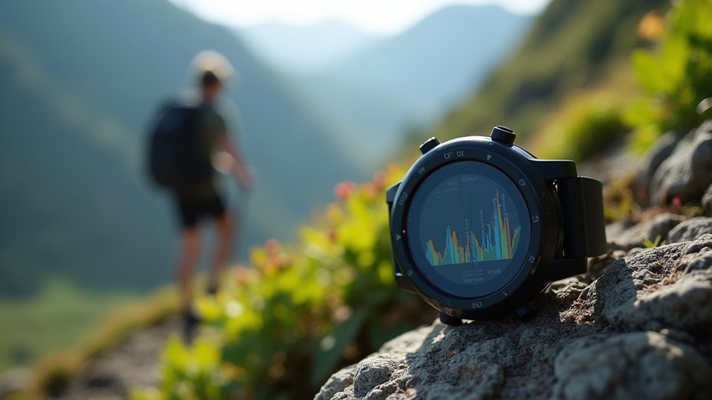
Even when your fitness wearable collects elevation data from multiple sensors, the software must perform the complex task of separating legitimate altitude changes from electronic noise—a process that frequently fails due to processing limitations.
Your device’s filtering algorithms must operate in real-time on constrained processors, forcing compromises between accuracy and performance. Simplified filters miss subtle elevation changes, while advanced filters create latency or drain battery life.
The software struggles with multipath GPS signals bouncing off surfaces and environmental factors like urban canyons that create erratic readings. Small elevation changes often fall within sensor noise ranges, making them indistinguishable from drift. Modern solutions use smart signal selection to identify and utilize only the strongest GNSS signals, reducing interference from weak or reflected transmissions.
When algorithms filter too aggressively to suppress noise, they risk smoothing out genuine altitude variations you’re actually experiencing.
Third-Party App Integration
When your fitness wearable syncs with third-party applications, the elevation data must navigate through multiple layers of software processing that weren’t originally designed to work together. Each app uses different algorithms to interpret your device’s raw elevation measurements, creating inconsistencies in how your climbing gains are calculated and displayed.
The integration challenges you’ll encounter include:
- Data format conflicts between your wearable and third-party apps that can corrupt elevation readings
- Algorithm differences that calculate elevation gain using varying mathematical approaches
- Software updates that introduce bugs affecting your elevation accuracy
- Limited user control preventing you from manually correcting obvious elevation errors
- Cross-platform compatibility issues that cause data loss during synchronization
These technical barriers mean your elevation data often becomes less accurate after leaving your wearable’s native environment. Similar trackers using different processing algorithms can yield different results for the same elevation activity, even when worn by the same person during identical climbs.
Hardware Degradation and Manufacturing Variations
As your fitness wearable ages, its internal sensors can malfunction or degrade, directly compromising the accuracy of elevation measurements you rely on for tracking your outdoor activities. This degradation affects your device’s ability to measure physical parameters accurately, while connectivity issues create inconsistent data collection patterns.
Manufacturing variations compound these problems considerably. You’ll find that different brands and models use varying device designs, material qualities, and assembly processes that influence how elevation gets measured.
Component variability means your device might perform differently than identical models due to manufacturing inconsistencies. Without standardized testing protocols across manufacturers, you’re dealing with proprietary algorithms that calculate elevation differently. These algorithms often have a minimum error rate of 20% for calculating various metrics, which directly impacts elevation accuracy.
These technical challenges, combined with GPS signal quality variations and data processing differences, create the heterogeneous data that undermines your elevation accuracy expectations.
User Habits That Compromise Measurement Accuracy
Your daily habits considerably impact how accurately your fitness wearable tracks elevation changes.
If you’re not wearing your device consistently on the same wrist position or you’re neglecting basic maintenance like regular cleaning, you’re compromising the sensors’ ability to collect reliable data.
These seemingly minor oversights can create substantial errors in your elevation measurements over time. Additionally, environmental factors can interfere with your device’s barometric pressure sensors, affecting the accuracy of altitude readings during outdoor activities.
Improper Device Placement
Although fitness wearables contain sophisticated sensors designed to track elevation changes accurately, improper device placement remains one of the most common reasons users experience unreliable data.
Your device’s optical sensors need direct skin contact to function properly. When you wear loose straps or place the device incorrectly, you’ll get inconsistent heart rate and elevation readings that throw off your tracking accuracy.
Here’s how improper placement affects your elevation data:
- Wearing the device over clothing prevents sensors from making proper contact
- Placing it too high or low on your wrist reduces barometric sensor accuracy
- Loose straps allow device rotation and slippage during activity
- Incorrect tightness creates measurement artifacts or discomfort
- Frequent repositioning disrupts consistent data collection throughout your workout
Research shows that proper device placement is crucial since studies found high accuracy for most fitness indicators when devices are worn correctly, with measurement errors staying around 10% for properly positioned wearables.
Poor Maintenance Practices
Three vital maintenance oversights can sabotage your fitness wearable’s elevation accuracy before you even start your workout.
First, you’re likely neglecting essential software updates that contain critical GPS and barometric sensor improvements. Outdated firmware compromises your device’s ability to calculate elevation changes accurately during activities.
Second, you’re probably skipping device calibration entirely. Your wearable needs periodic GPS calibration to establish accurate baseline readings, especially when shifting between different environments and altitudes.
Third, you’re ignoring physical maintenance that directly impacts sensor performance. Dirt, moisture, and debris around barometric sensors interfere with pressure readings your device relies on for elevation tracking.
Additionally, letting your battery drain completely can cause sudden shutdowns, creating data gaps that compromise overall elevation accuracy throughout your workout sessions.
Brand Differences in Elevation Tracking Performance
When comparing fitness wearables for elevation accuracy, clear performance leaders emerge based on their sensor technology and calibration methods.
You’ll find considerable differences between brands when tracking elevation during workouts and outdoor activities.
Top-performing elevation tracking brands:
- Garmin – Maintains errors under 10 feet with advanced multi-sensor systems
- Apple Watch Ultra 2 – Delivers consistent accuracy within 30 feet using sophisticated calibration
- COROS – Provides reliable readings within 10-25 feet using barometric altimeters
- Samsung Galaxy Watch – Struggles considerably with errors exceeding 200 feet
- Budget brands – Amazfit and similar devices offer basic tracking with greater error potential
You’ll experience the most accurate elevation data with Garmin and Apple devices, while Samsung’s offerings consistently underperform in real-world testing scenarios. Many fitness wearables lack manual calibration options for their altimeters, which limits users’ ability to improve accuracy before starting elevation-based activities.
Frequently Asked Questions
Can I Manually Calibrate My Fitness Tracker’s Elevation Readings for Better Accuracy?
You can manually calibrate your fitness tracker’s elevation by accessing the altimeter settings and entering known elevation data or using GPS. Frequent calibration helps counter barometric pressure changes that affect accuracy.
Do Expensive Fitness Wearables Have Significantly Better Elevation Tracking Than Budget Models?
You’ll notice expensive fitness wearables typically offer better elevation tracking through advanced multi-band GPS, precise altimeters, and frequent auto-calibration. However, budget models can still provide acceptable accuracy for casual users.
How Often Should I Clean My Device’s Barometric Sensor Port?
You should clean your device’s barometric sensor port after each use in harsh environments and perform weekly maintenance inspections. Use mild soap and water, avoiding alcohol or abrasive materials that could damage the sensor.
Will Wearing My Fitness Tracker on My Dominant Wrist Affect Elevation Measurements?
No, wearing your fitness tracker on your dominant wrist won’t affect elevation measurements. Barometric altimeters aren’t sensitive to wrist-specific differences, and device algorithms don’t reference wrist dominance for elevation calculations.
Can Third-Party Apps Correct Elevation Data From My Fitness Wearable?
You can use third-party apps to attempt elevation corrections, but they’ll often still show different data than your wearable’s native app due to varying algorithms and platform limitations.
In Summary
You’re dealing with a complex measurement challenge when tracking elevation. Your device’s barometric sensor fights against weather changes, temperature swings, and humidity while algorithms struggle to interpret the data accurately. Manufacturing inconsistencies affect hardware performance, and your usage habits can throw off readings. Different brands handle these challenges with varying success, so you’ll need to understand your device’s limitations and adjust your expectations accordingly for reliable elevation tracking.


Leave a Reply